By Colleen Durfee, Ashton Rohmer and Darien Williams
Charlotte-Mecklenburg County’s Storm Water Services office can trace its origins back to an ambitious set of projects from the early 1900s, including the draining of swamps and the straightening of creeks and streams, literally bending nature to the short-sighted will of the inhabitants who chose to settle atop it. The environment was a nuisance and obstacle to development, not an asset; in fact, some developers even built on top of streams, covering them with pavement and putting them out of sight. Vegetation removal was routinely conducted in flooded areas and the situation quickly morphed into a larger flooding problem that the Storm Water Services team battled until they exhausted the patience and resolve of the residents in the 1990s.
Students in Coastal Resilience Center of Excellence (CRC) Director Gavin Smith’s “Planning for Natural Hazards and Climate Change Adaptation” class learned about local government response to environmental issues during a field trip that included visits to the Land Use and Environmental Services Agency and to properties impacted by flooding around the city of Charlotte in Mecklenburg County, N.C. The city and county have combined resources for many of its services. The class is part of a CRC educational program, “Expanding Coastal Resilience Education at UNC-CH.”
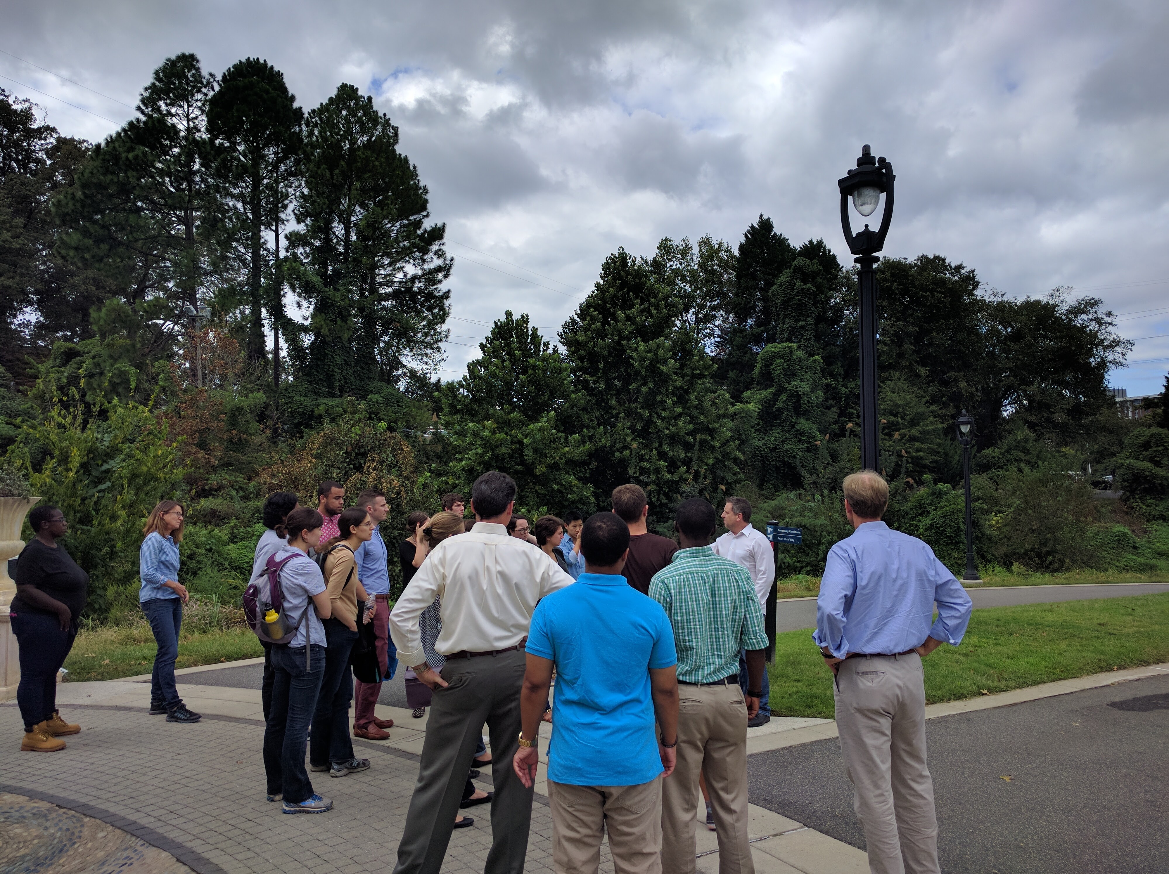
UNC class “Planning for Natural Hazards and Climate Change Adaptation” takes a field trip to see Charlotte-Mecklenburg County Storm Water Services’ work on the Midtown Urban Greenway.
Photo by Ashton Rohmer
There were a series of especially bad floods in 1995 and 1997 that changed the tone of the office’s approach to the needs of the City. Residents and government practitioners alike were tired of grappling with regular flood events and turned to more proactive approaches for flood management and hazard mitigation. The County adopted a new mantra for flood management: “Floodplains must be allowed to flood.”
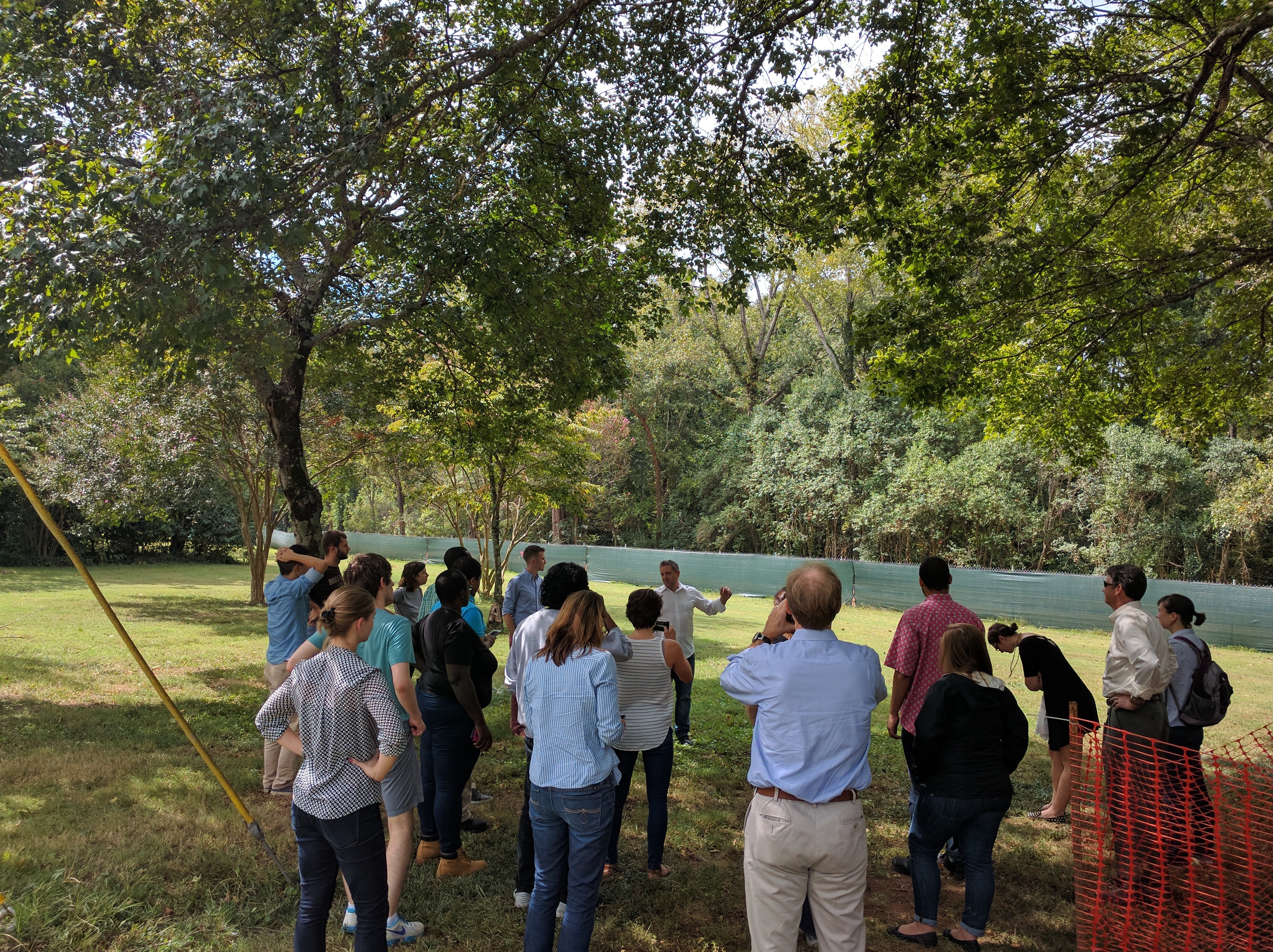
After a flood event in 2008 along Dunlavin Way (to the east of downtown Charlotte) the Storm Water Services office stood up their “Quick Buy” program, financed with local money from the “rainy day” fund, so that properties that did not qualify for assistance under FEMA could be paid to move out of the floodplain. Due to high demand for the program, Storm Water Services partnered with the County’s Parks and Recreation department to supplement the funds available so that more residents could participate; in all, $6 million was available through the Quick Buy program.
Photo by Ashton Rohmer
The Mecklenburg Board of County Commissioners decided in 1996 that the use of creeks as a stormwater disposal method should be secondary to the preservation of creeks. This paradigm shift was paramount to the success of multiple projects, several of which were recently visited by students from UNC’s Department of City and Regional Planning (DCRP). A central theme in the observed projects was the mindful repurposing of residential and commercial land to resilient, safe and useful green spaces; since 2000, Storm Water Services has worked to acquire land through strategic buyouts of flood-damaged properties. Currently, the County operates a “rainy-day fund” (excuse the pun), extracted from storm water utility fees for future buyout programs and flood risk reduction; to date, more than 350 properties and hundreds of households have been moved from the floodplain.
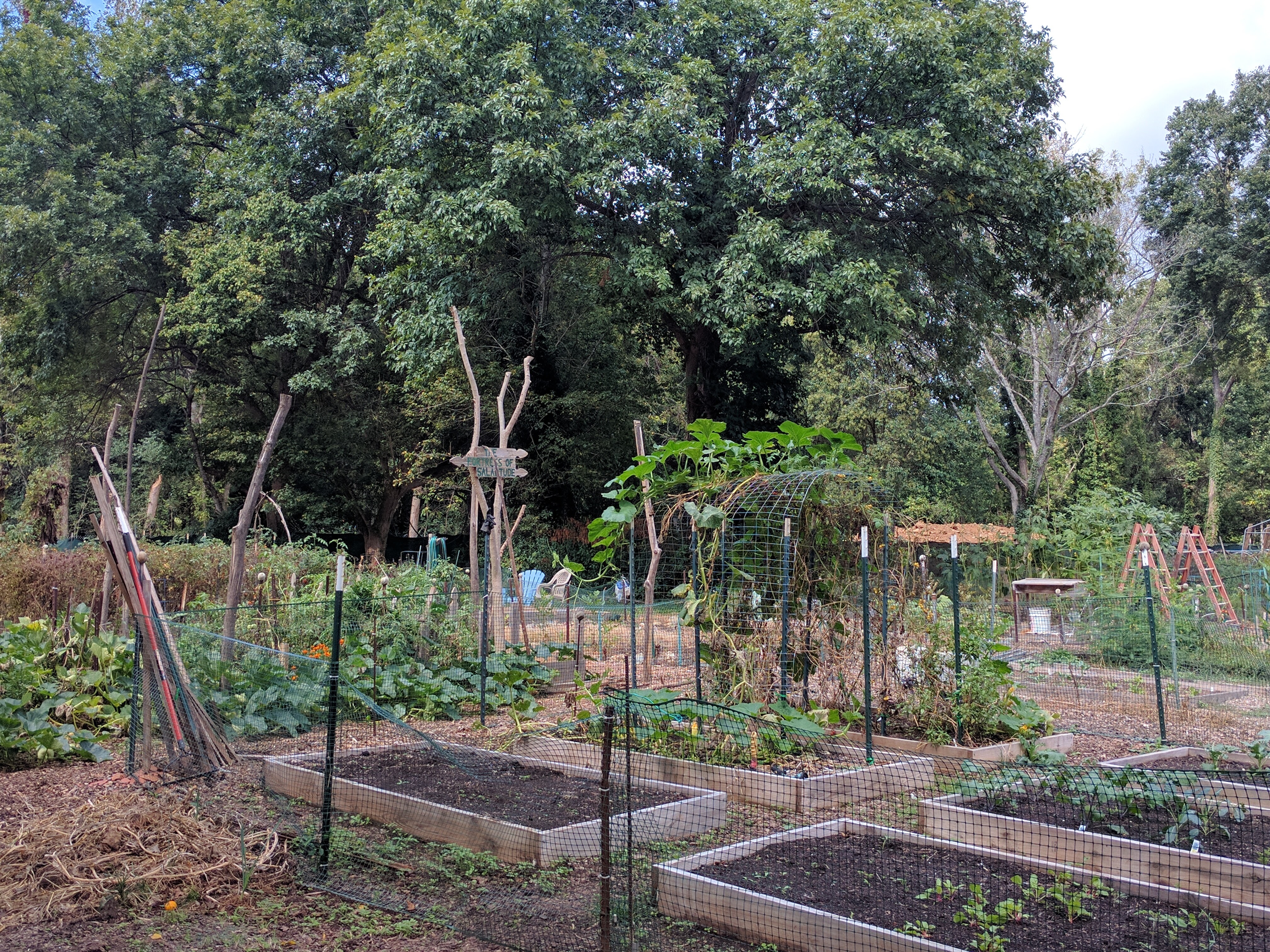
A community garden in the Dunlavin neighborhood occupies some of the open space created by the County using their “rainy day” fund.
Photo by Ashton Rohmer
However, restoring streams and creeks to their natural courses does not alone ensure resilience to flooding. The County’s floodplain maps also needed to be updated, having not been touched since 1978. In updating the floodplain maps, the County used district comprehensive plans to base the 100-year floodplain on future, rather than current, land uses. Today, the 100-year floodplain reflects the land uses that have yet to take effect but likely will, given projected development patterns, mitigating the risk of future flood-prone properties as Charlotte and Mecklenburg County continue to grow. The floodplain maps are available to the public online and as a mobile application so property owners can assess their flood risk.
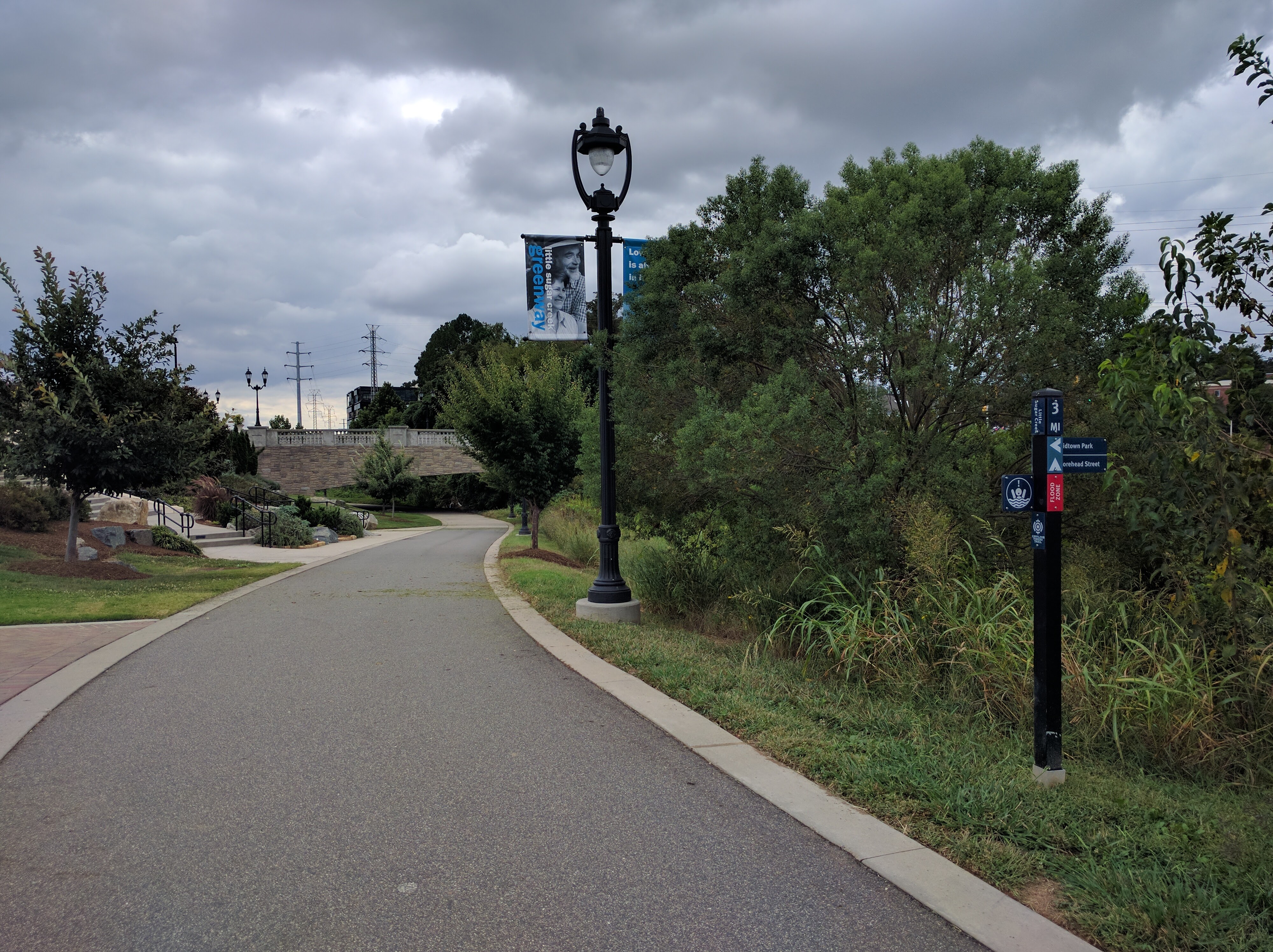
The Midtown Urban Greenway was the site of a former mall that covered up a section of Little Sugar Creek. Storm Water Services used $40 million for a daylighting and stream restoration project after buying out many of the businesses that had been built on top of the creek. Working with at least a dozen other agencies, Storm Water Services was able to engage with both the public and private sector to create this tremendous community asset.
Photo by Ashton Rohmer
Today, the greenways created by the buyout efforts are more than the manifestation of popular grassroots community demands for increased park and green space access. These projects allow species diversity and conservation, provide community garden space, improve water quality, and most notably for Storm Water Services, restore the natural creek and stream systems by letting the floodplains flood. In short: by restoring creeks instead of building over them or forcing their path, the office was able to reduce flood risk.
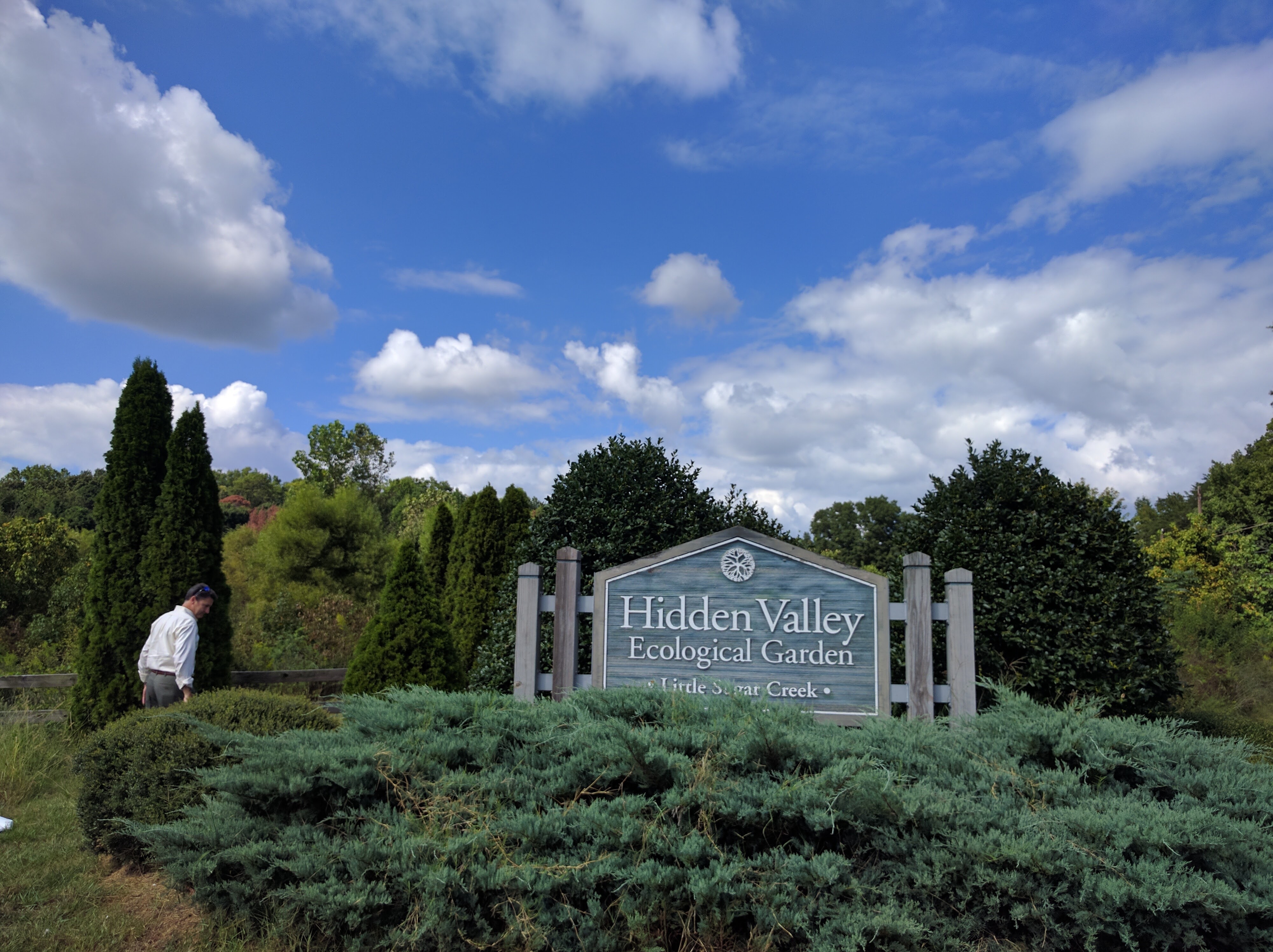
The Hidden Valley Ecological Garden, situated along a formally straightened section of Little Sugar Creek, was created in 2004 and was the first project implemented after the first wave of buyouts. After getting 100% participation from owners of flood prone properties in the primarily low-income Hidden Valley neighborhood, Storm Water Services restored 3,500 linear feet of stream and created 14 wetlands. Additionally, the Ecological Garden connects to a nearby environmental magnet school via a nature trail and serves as an outdoor learning laboratory.
Photo by Ashton Rohmer
Integral to the operations of the office is the nature of multi-purposed planning. The Storm Water Services office recognized that buyouts not only offered the opportunity to achieve several objectives, but that those same objectives would also create a multitude of community benefits. For example, a greenway or park doesn’t just serve recreational needs, but also raises property values, provides common public space and may reduce the flood risk of surrounding neighborhoods. This appeals not only to local organizations, but also to real estate developers, politicians and other active members of the community with interests in how public space is shaped. Charlotte-Mecklenburg County has learned from experience beyond just adapting to increased flood risk. By ensuring floodplains account for future land use patterns, the County stands as an example of innovative floodplain management that works to balance the built and natural environment in an effort to reduce harm to both.
Colleen Durfee, Ashton Rohmer and Darien Williams are graduate students in the Department of City and Regional Planning at the University of North Carolina at Chapel Hill. They are also involved in work with the Coastal Resilience Center – see our Students page for more information. A version of this post originally appeared in Carolina Angles, a blog from the UNC-Chapel Hill Department of City and Regional Planning.
Leave a Reply